What are Outline Maps of Canada?
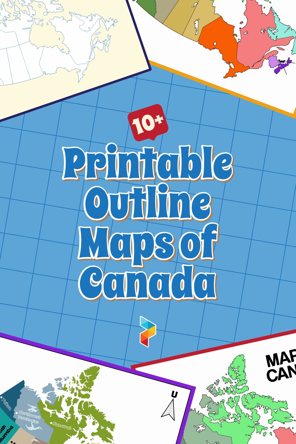
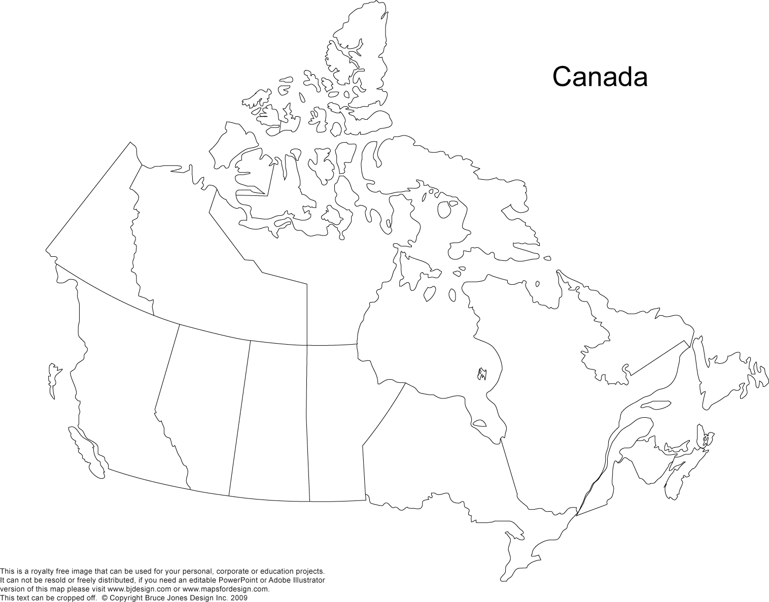
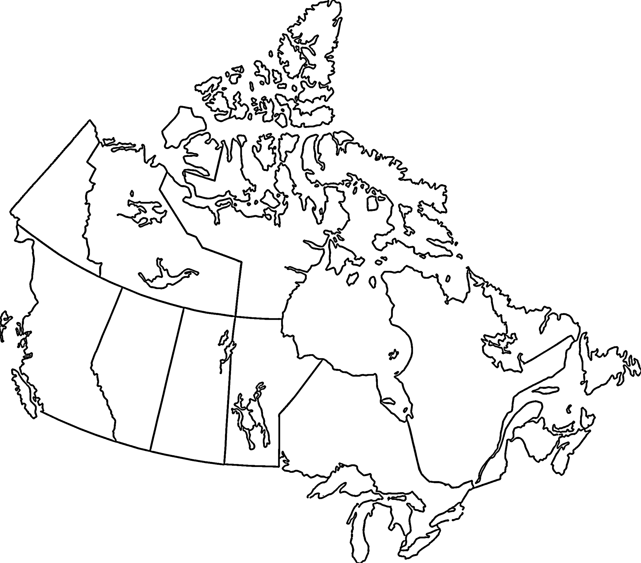
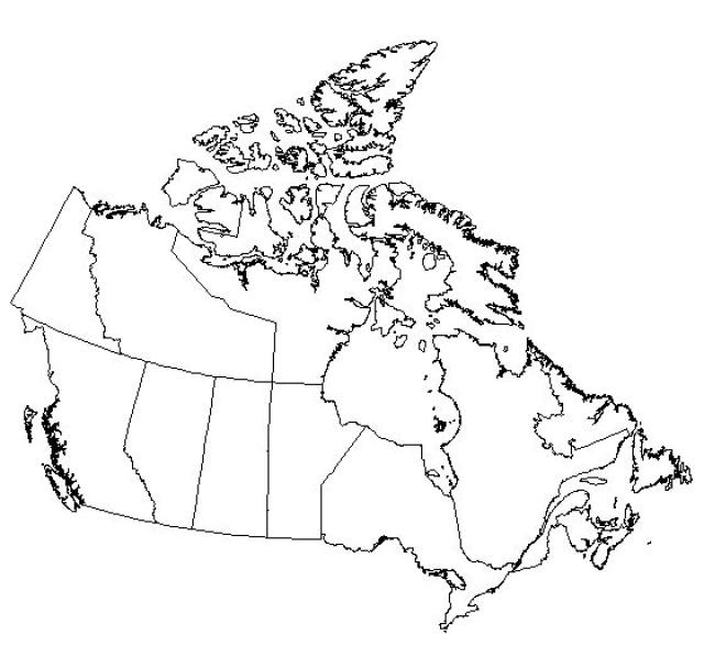
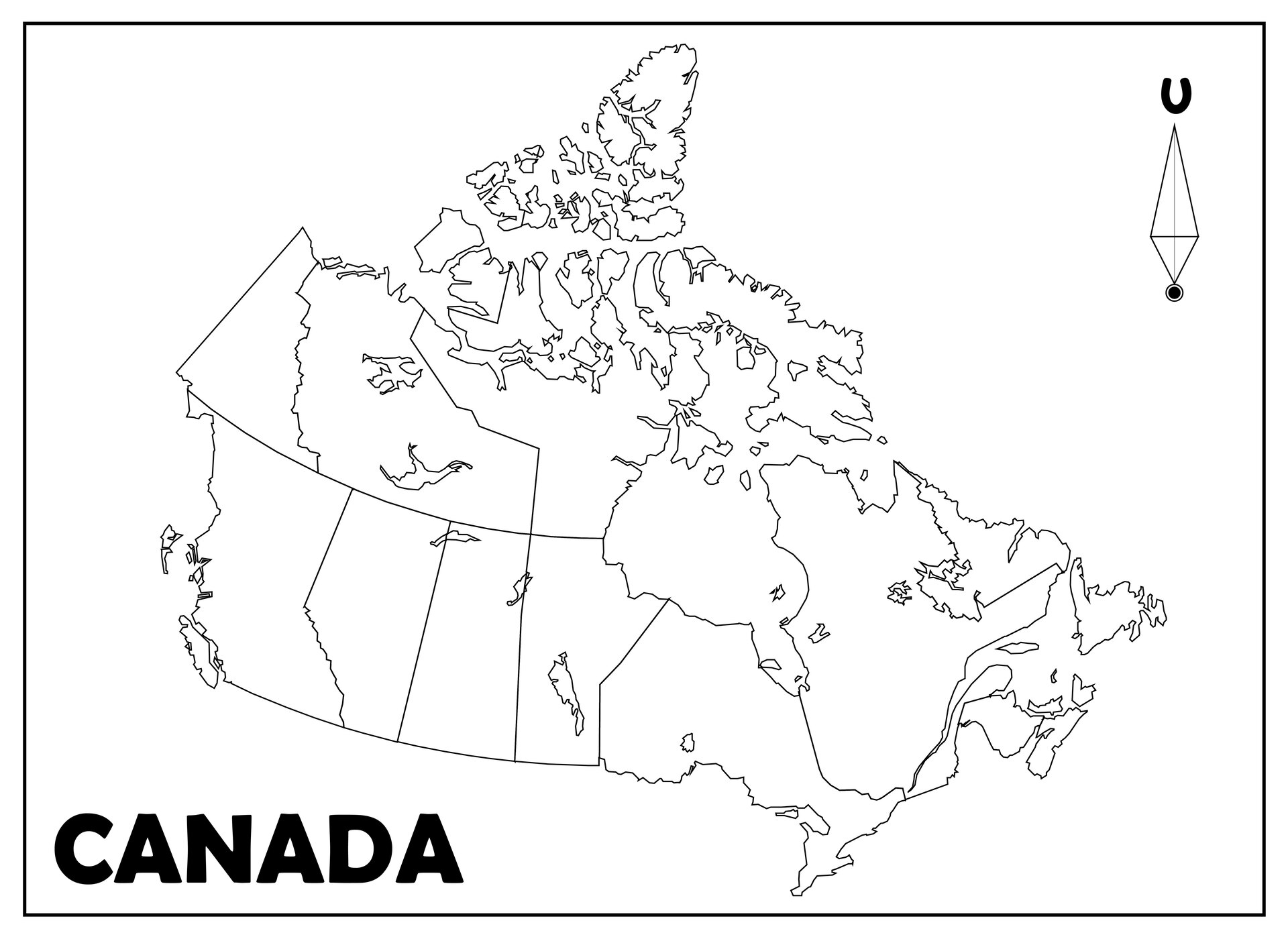
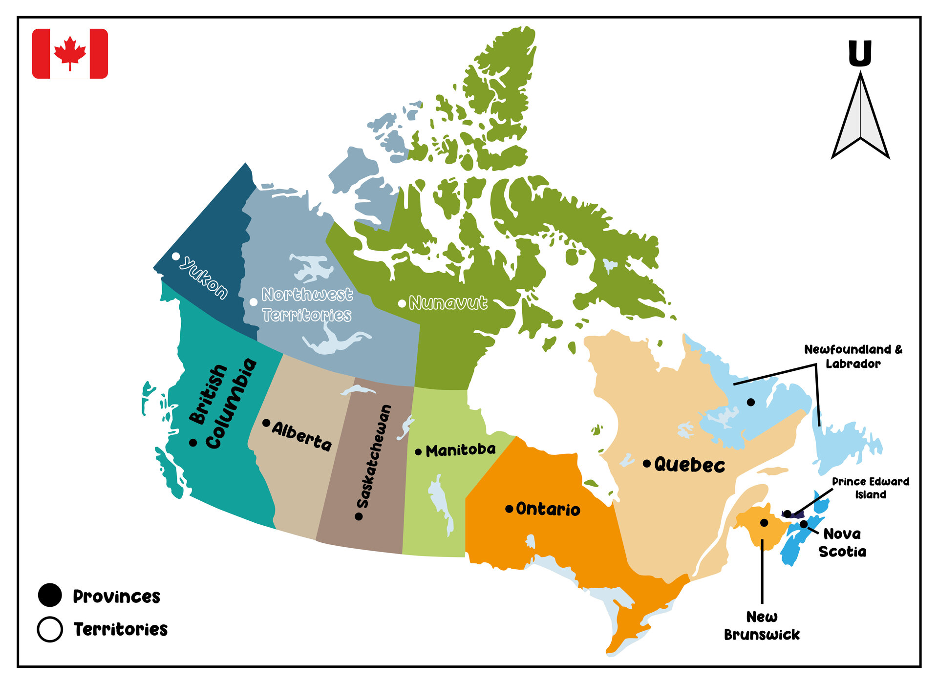
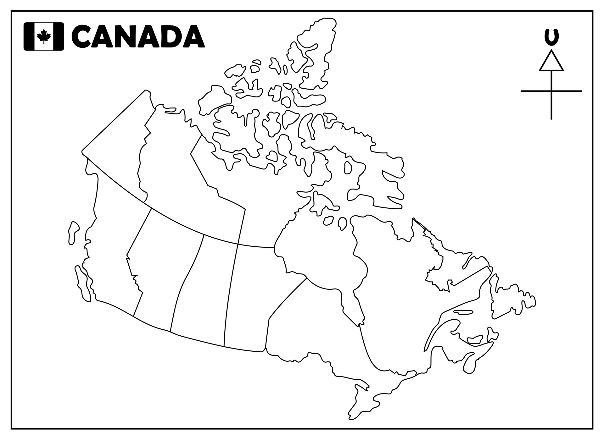
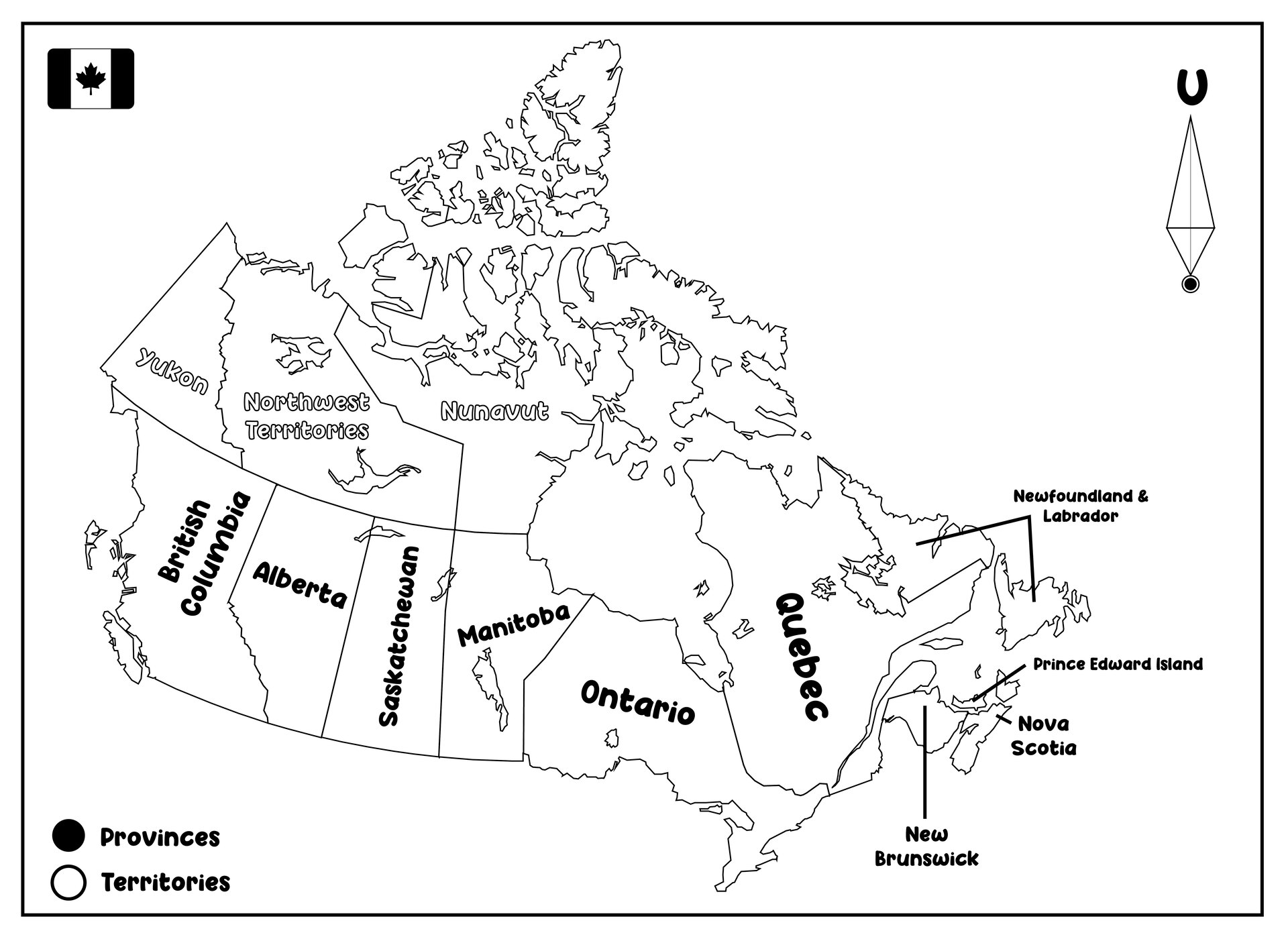
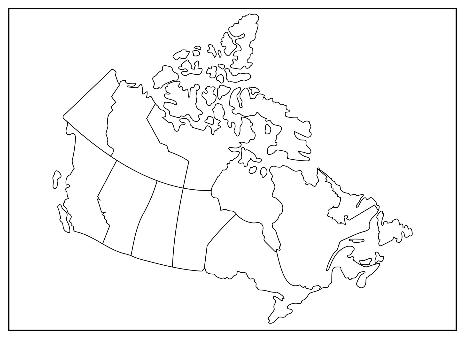
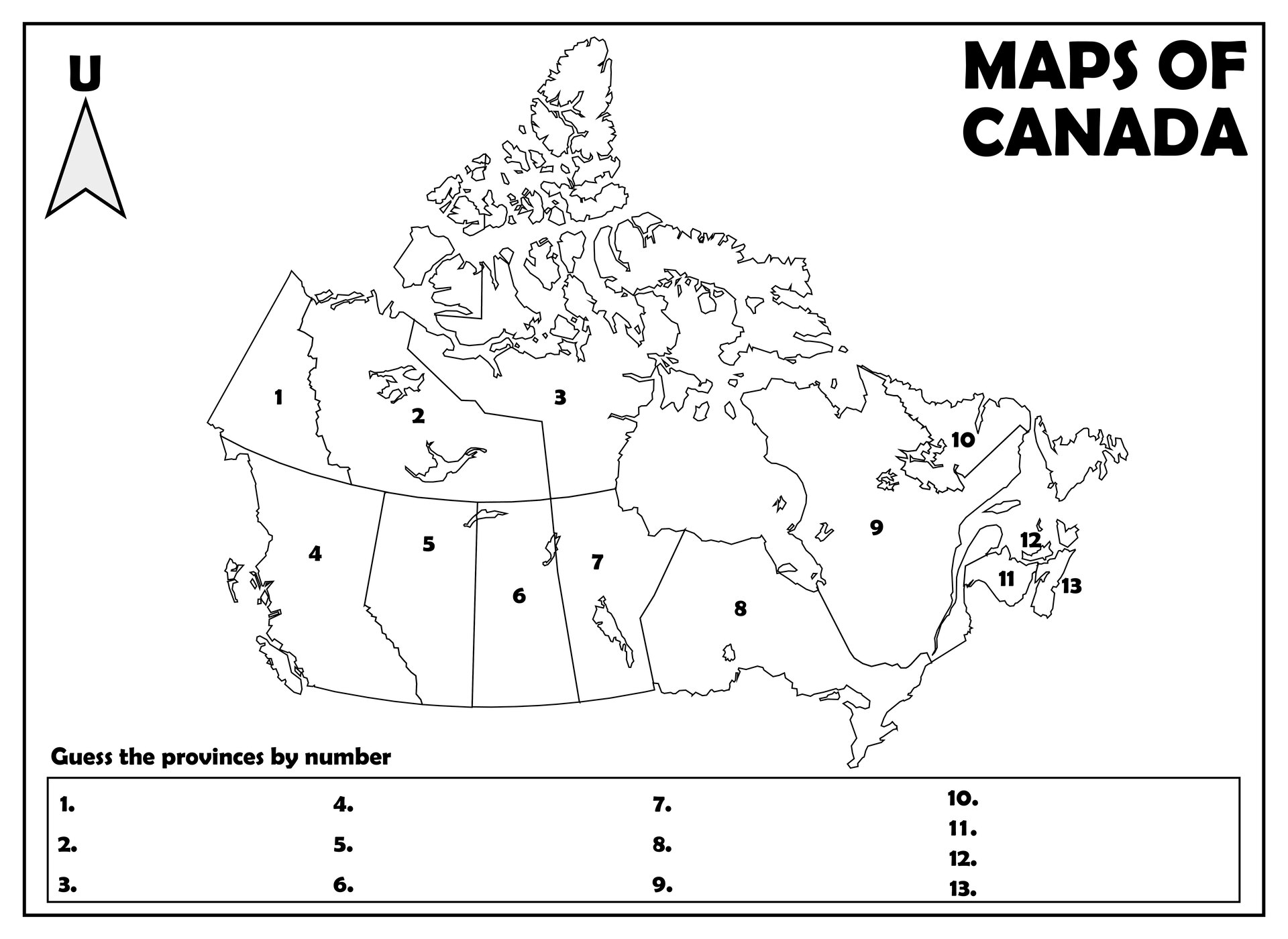
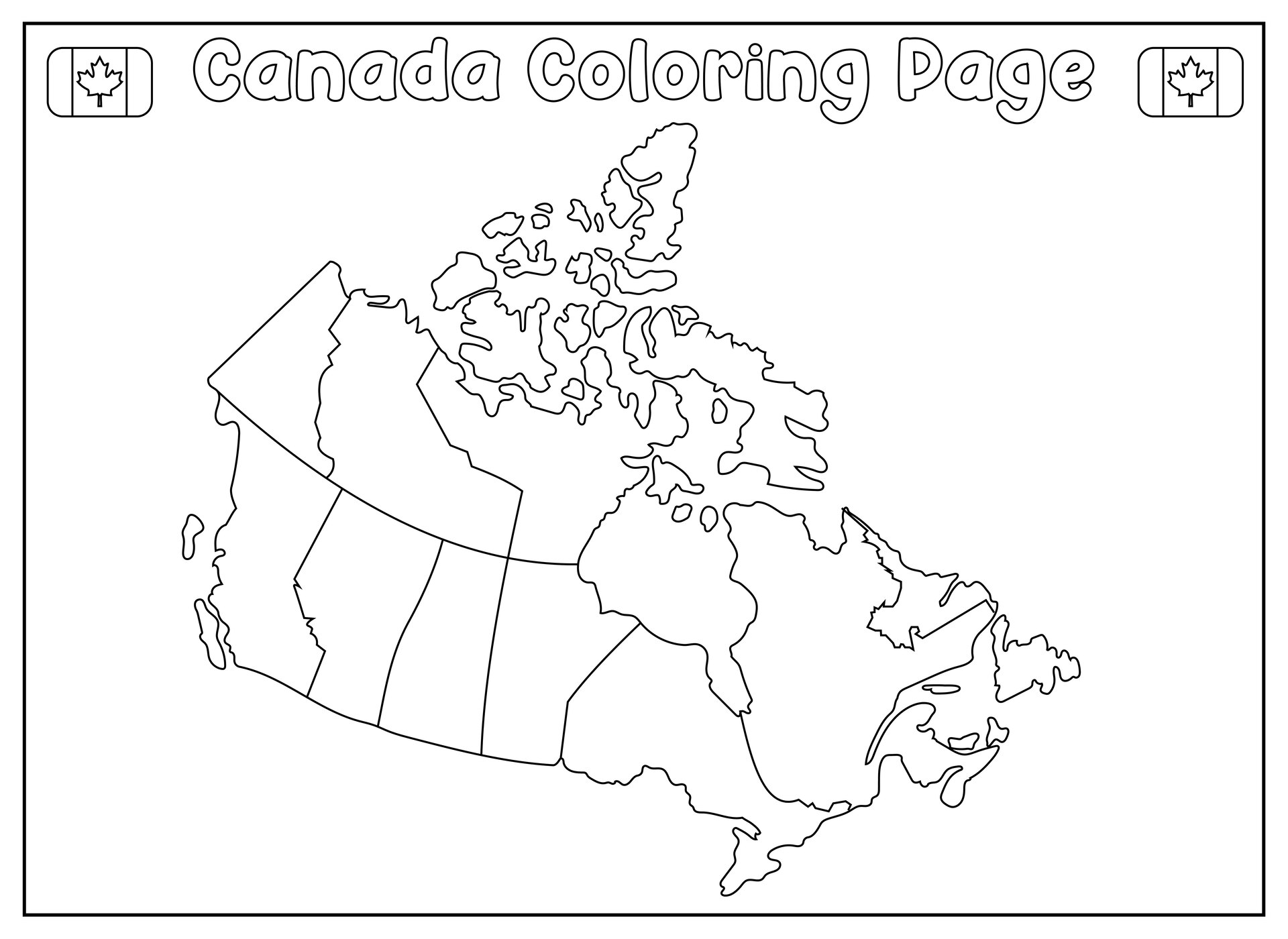
Outline maps of Canada are simplified representations of the country's geographic features without any details such as cities, roads, or topographical elements. These maps are designed to highlight Canada's national boundaries and its major physical features, making them a useful tool for educational purposes, geographical analysis, and map-making projects.
Outline maps of Canada typically include the following key elements:
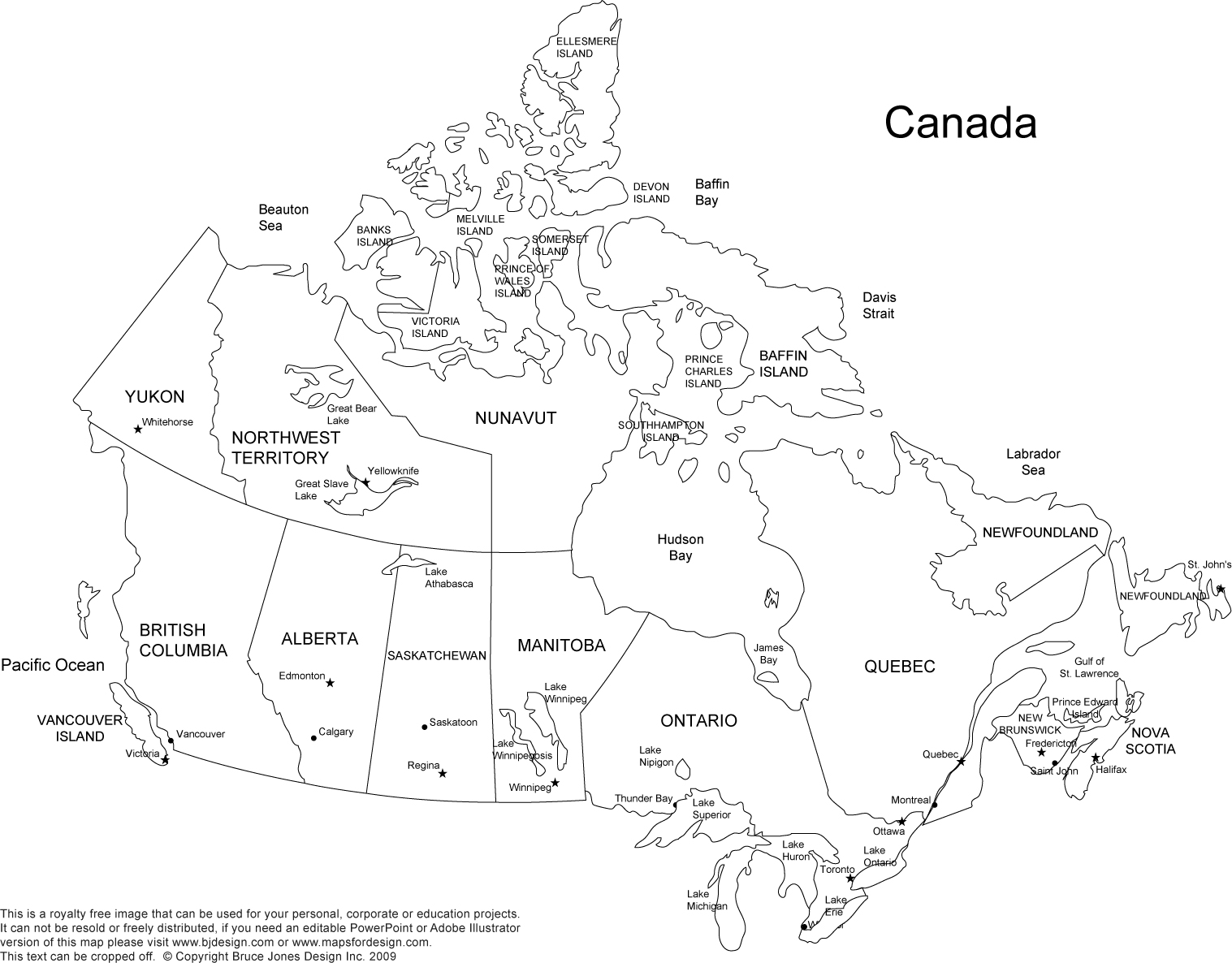
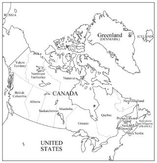
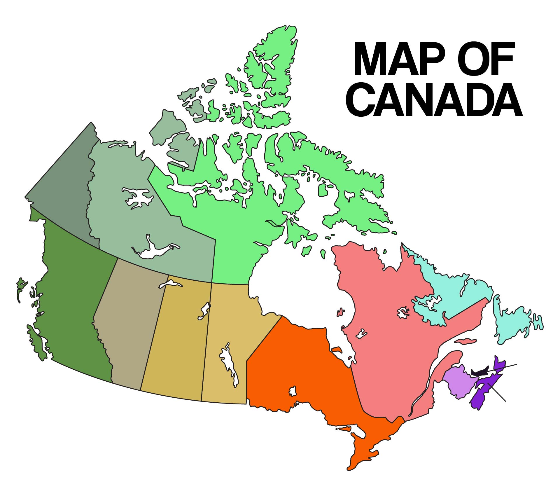
- Provincial and Territorial Boundaries: The map shows the distinct boundaries of Canada's ten provinces and three territories. Each province and territory is usually differentiated by color or shading for clarity.
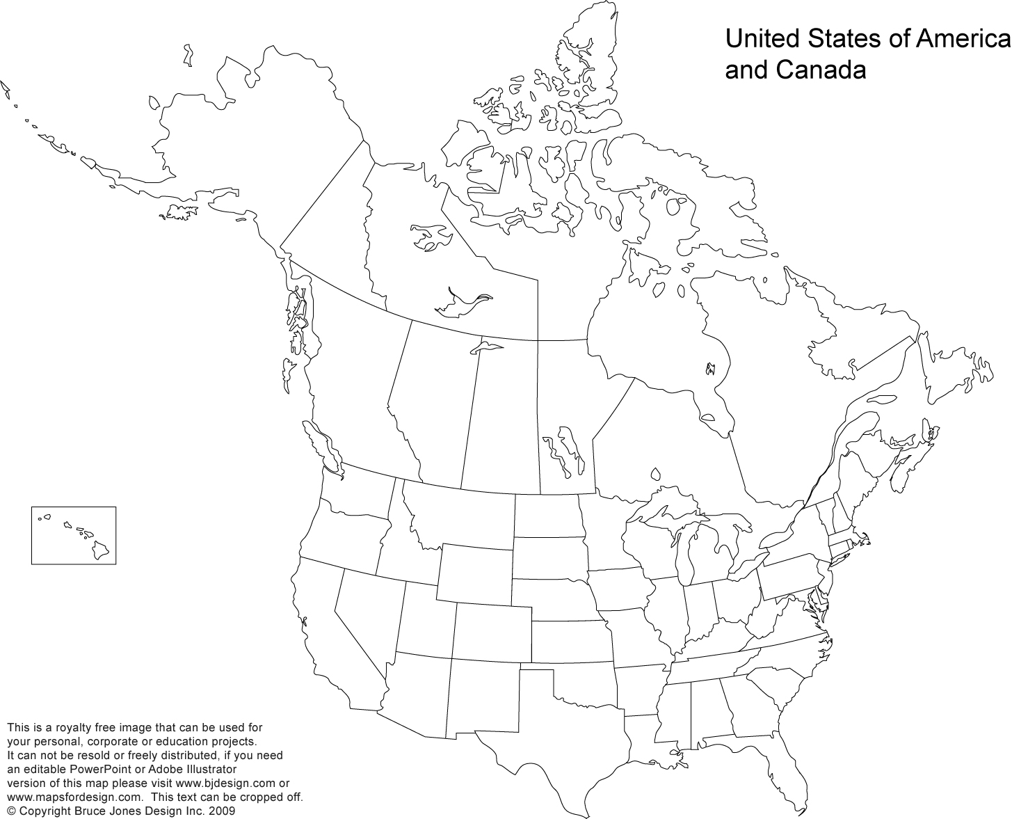
- National Borders: The outline map will clearly outline Canada's international boundaries, including those with the United States to the south and the Arctic Ocean to the north.
- Geographic Regions: Outline maps may also outline Canada's distinct geographic regions, such as the Canadian Shield, the Rocky Mountains, the Great Lakes-St. Lawrence Lowlands, and the Arctic Coastal Plains. These regions have unique physical characteristics that influence the country's climate, flora, fauna, and land use patterns.
- Capital City and Major Cities: While outline maps typically omit city names and details, they may indicate the location of Canada's capital city, Ottawa, and other major cities like Toronto, Montreal, Vancouver, and Calgary as reference points for geographic orientation.
How to Draw Outline Maps of Canada?
Follow these step-by-step instructions to create your own customized outline map of Canada:
- You need a blank sheet of paper, a pencil, an eraser, and a ruler. You may also want to use colored pencils or markers to add detail to your map.
- Begin by drawing the overall outline of Canada on your paper. Use your ruler to create straight lines for the country's borders. Canada is located in North America and is bordered by the United States to the south and the Arctic Ocean to the north.
- Next, divide your outline map into its thirteen provinces and territories.
- To add more detail to your map, consider including major cities.
- Take the time to label each part of your map. Use clear, legible writing to indicate the names of provinces, territories, cities, and other important features.
- To make your map more visually appealing, consider adding color and texture to different regions. Use colored pencils or markers to fill in provinces and territories with different shades to create a more vibrant and detailed map.
- After completing your outline map of Canada, take a moment to review your work and make any necessary refinements. Check for accuracy in the placement of provinces and territories, the spelling of labels, and the overall appearance of the map.
What is the Outline Maps of Canada Template?
Outline maps are widely used in education, research, and business for a variety of purposes. The Outline Maps of Canada Template is a valuable tool that provides a blank canvas of the Canadian geographical landscape. This template offers a versatile platform for visual representation and illustration, allowing users to create custom maps with specific details and information according to their needs.
The Outline Maps of Canada Template is a comprehensive resource that features a simplified representation of Canada's geographic boundaries, including provinces, territories, borders, and major cities. The template is designed to be easily customizable, allowing users to add labels, colors, and additional details to enhance their maps.
Why Should You Download Printable Outline Maps of Canada Here?
Downloading printable outline maps of Canada templates on Printablee can be a valuable resource for various purposes. Whether you are a student, teacher, researcher, or travel enthusiast, having access to visual representations of Canada's geography can enhance your understanding and appreciation of this vast and diverse country.
Printable outline maps of Canada templates offered on Printablee provide a range of benefits that make them valuable tools for educational purposes, research, or simply for personal use. Here are some reasons why you should consider downloading these templates:
- Educational Purposes: For teachers, printable outline maps of Canada can be a great resource for geography lessons. These maps can help students learn about the different provinces and territories, their locations, and key features. Teachers can use these templates to create engaging activities, quizzes, and assignments that will help students enhance their knowledge of Canadian geography.
- Research and Reference: Researchers and academics can benefit from having access to printable outline maps of Canada templates. These maps can be used as reference materials or included in presentations and reports.
- Travel Planning: If you are planning a trip to Canada, having a printable outline map can be useful for mapping out your itinerary and understanding the different regions you will be visiting. You can use the map to mark points of interest, cities you want to explore, and the routes you will be taking during your travels.
- Home Decor and Craft Projects: Beyond educational and research purposes, printable outline maps of Canada can also be used for creative projects and home decor. You can print out a map and use it as a backdrop for a travel-themed scrapbook or frame it as a piece of wall art to showcase your love for Canada.
Have something to tell us?
Recent Comments